
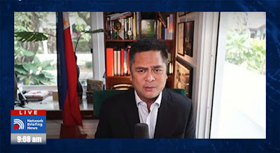
Statement of Presidential Communications Secretary Martin Andanar on tropical storm Maring
We assure everyone that the government remains on top of the situation having prepared early on for Tropical Storm Maring by making prior risk assessments and having pre-positioned various components for relief operations and disaster responses.
Uniformed personnel from the AFP, PNP, and BFP have also been mobilized to provide assistance to our RDRRMCs on disaster response and to support other operations for affected Filipinos.
For our part, the Presidential Communications Operations Office and its attached agencies, through our Integrated News Team and Laging Handa program, continue to provide needed and timely information and updates regarding Tropical Storm Maring and its effects using all the government's media platforms.
We ask the public, in particular those in the affected regions, to follow all the directives of the national and local government units and to monitor all warnings and advisories to ensure their safety and welfare from the storm.
We also remind everyone, especially those in evacuation centers, to continue observing all health protocols as much as possible in order to minimize infection from COVID-19.
As we continue to closely monitor Tropical Storm Maring, we ask everyone to subscribe to our information and communication programs and other platforms for more life-saving, timely, and accurate information.
